Submit a trip report
Upper Moose River, Victory, VT
Saturday April 26th, 2008Organizer: Scott Gilbert
Predominantly: int-adv WW
Water Level: low boatable
Author: Scott Gilbert
Internet Gauge (ft): 6
Internet Gauge (cfs): 500
USGS Gauge Name: Moose River @ Victory
Kayakers (K1): Scott Gilbert
So after eying this stretch of river for a while on topos and one summer trip to check it out and seeing some good looking roadside stuff, I finally had to scratch the itch.
A two hour drive from Burlington, and I am at Gallup Mills a tiny little cluster of North
East Kingdom residences. Turn to go up radar road...and the road is gated!!
Couldn't believe it, and already knew from an attempt last week that coming up and over the east haven range is not an option.
So a little bit of driving around trying to figure out an alternate approach and I resign myself to my two options; drive home or hike up the road with boat and gear in tow and make my way down.
After some internal debate I decide I've driven this far, and probably am not likely to be up here again any time soon, so I stuff my gear in my boat and hike up...4.5 miles and an hour and a half later and I am at the confluence of the west & east branches of the Moose. I gear up and put in here in a beautiful deep amber pool below the culvert.
About a 1/10 of a mile of class II and there is a clean 5ft waterfall, quick plug into cold water, and then another 1/10 of a mile and there is another tongue on river right dropping over a square boulder and into a strong looking hole. Being alone and the left side of the drop looking rather sketchy, I portage around. From here there is about a half mile of class II interspersed with several III & IV ledges, with more water this would be quite a bit of fun. Then another horizon. A big rock island splits the flow. The left is choked with wood, the right is a 7ft falls that at this level would require a dry-rock boof and midair sideways turn to prevent a hard piton. Again I boat on shoulder I walk around. At higher flows the move would not be very challenging and would be quite fun. From here the river stays II-III and even mellows to wider and class II with lots of small boulders. More water would definitely be nice. This continues for about a mile and a half until the river drops into a very scenic little gorge. Definitely felt like 'the shire' type territory. In the gorge there are about 5 III - IV- drops, all fun stuff! After this the river mellows again for about two miles of wide-bed boat scratching (at this level) until the bridge.
I took out at the bridge but then driving along the road could hear the river gain lots of volume (the audio kind). Found a pull off and hiked down to find an awesome rapid dropping through rocky outcroppings, then a nice 4 ft boof a shortways downstream. Would definitely have geared back up and run this but had to make it home in time to catch the Habs game, (which they lost to philly...booo) Checking out google maps it looks like there might even be a little bit more downstream.
the stretch http://maps.google.com/maps?f=d&hl=en&geocode=8674060833312725336,44.633807,-71.811329&saddr=Radar+Rd+%4044.633807,+-71.811329&daddr=44.574726,-71.784883&mra=mi&mrsp=1,0&sz=15&sll=44.577018,-71.776471&sspn=0.023141,0.045319&ie=UTF8&ll=44.604646,-71.774025&spn=0.092519,0.181274&t=h&z=13
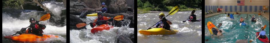
check the paddle pix section for photos of this trip. all in all not quite the outcome i was hoping for, but there is no such thing as a bad day on the river